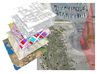
Spatial Services
The Spatial Services Business Unit is focused on helping customers achieve awareness of assets and risks
that can only be fully understood in the context of "where". We have evolved the use of geospatial
information tools to a lean, user-friendly experience which allows organizations to enjoy the benefits of a
GIS without an entire support staff. Rather your focus is a full GIS, or limited data sets represented
spatially, we have cost effective solutions.
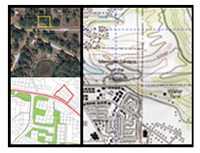
Spatial solutions applies its GIS experts to:
• Wildlife Conservation
• Wildlife Migration Patterns
• Wildlife Habitat Surveys
• Solar Tracking and Optimization
• Soil Conservation
• Land Rights
• Tax and Ownership Records
• Planning and Zoning
• Voter Information
• Property Boundaries
• Mobile Device Mapping and GIS
• Internet Mapping Solutions and Integration
|